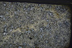
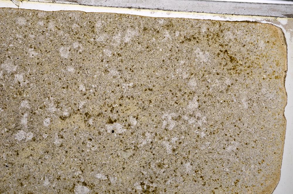
BGS mineralogy and petrology collection record
| Sample number | E56575; COLLNODAN2125; |
|---|---|
| Sample Donor | Dangerfield,J. |
| Rock name | Lamprophyres. 'Original entry: Lamprophyre' |
| Stratigraphy | Not entered |
| Comments | Lamprophyre dyke. |
| Locality details | Crag at edge of wood, 0.2 Km. bearing 040 deg. from Holne Bridge, 3 Km. WNW. of Ashburton. |
| 50k map sheet | Dartmoor Forest (338) |
| Map reference | SX 7315 7080 |
| Year collected | Not entered |
| Bore name | Not applicable |
| Confidentiality | No restrictions |
Petrological thin sections
Links to high resolution images
Transition from XPL to PPL light
E56575