BGS mineralogy and petrology collection record
| Sample number | E34653; MR29837; COLLNOGP106; |
|---|---|
| Sample Donor | Poole,E.G. |
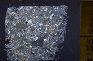
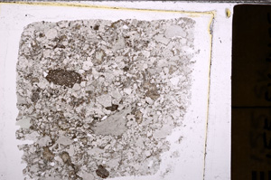
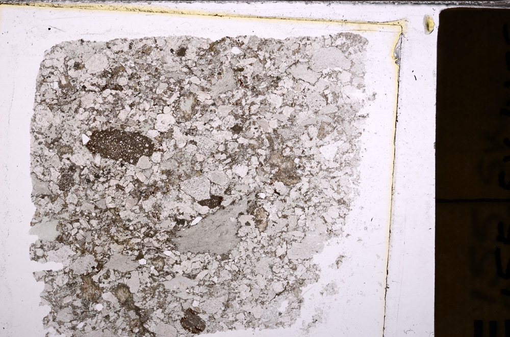
| Rock name | Agglomerate. 'Original entry: Slate Agglomerate.' |
| Stratigraphy | Not entered |
| Comments | Highest band exposed in M1 cutting, about 100ft above base of slate agglomerate group, in core of small syncline. |
| Locality details | South end of M1 cutting north of Markfield roundabout about 100 yards S.S.E. of the Hollies Farm and half a mile west and four degrees south of Ulverscroft Grange. |
| 50k map sheet | Coalville (155) |
| Map reference | SK 4789 1158 |
| Year collected | Not entered |
| Bore name | Not applicable |
| Confidentiality | No restrictions |
Petrological thin sections
Links to high resolution images
Transition from XPL to PPL light
E34653