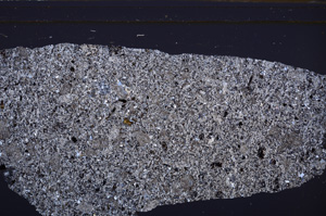
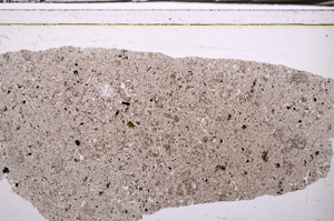
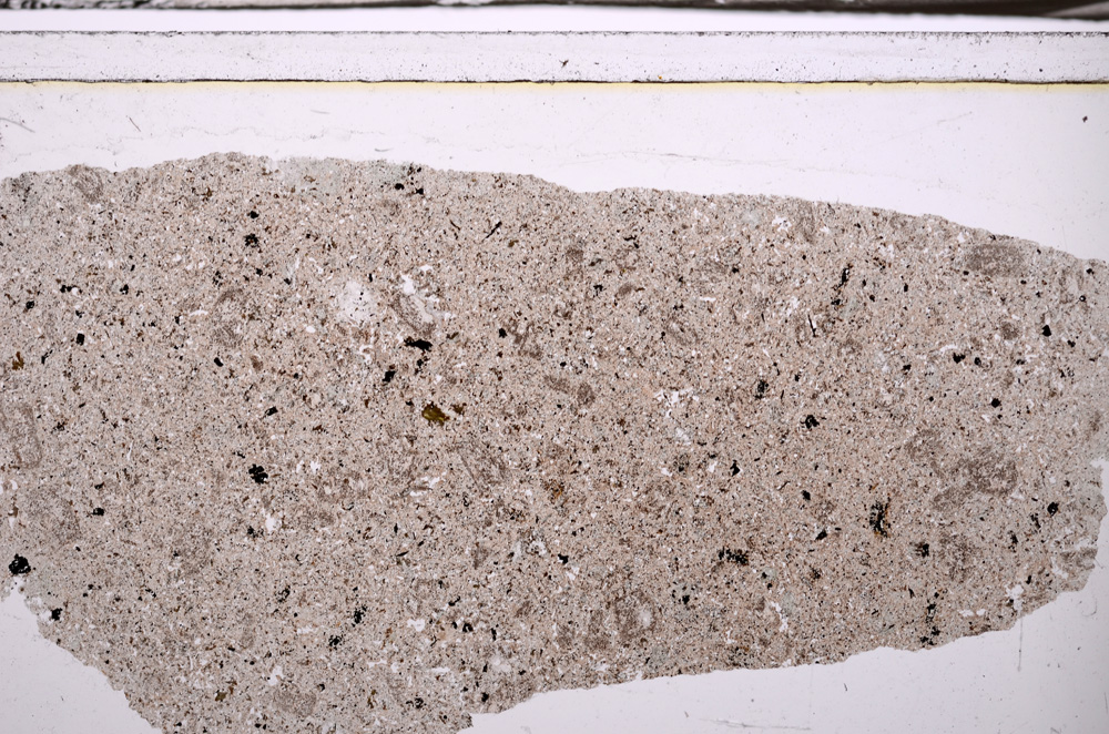
BGS mineralogy and petrology collection record
| Sample number | E35374 |
|---|---|
| Sample Donor | Worsam,B.C. |
| Rock name | Not entered |
| Stratigraphy | Not entered |
| Comments | From rock face about 30' below ground surface. |
| Locality details | Barrow Hill Quarry (disused) 1250 yards east and 12 degrees north of Huit Farm, Earl Shilon. |
| 50k map sheet | Coalville (155) |
| Map reference | SP 4885 9714 |
| Year collected | Not entered |
| Bore name | Not applicable |
| Confidentiality | No restrictions |
Petrological thin sections
Links to high resolution images
Transition from XPL to PPL light
E35374